● About
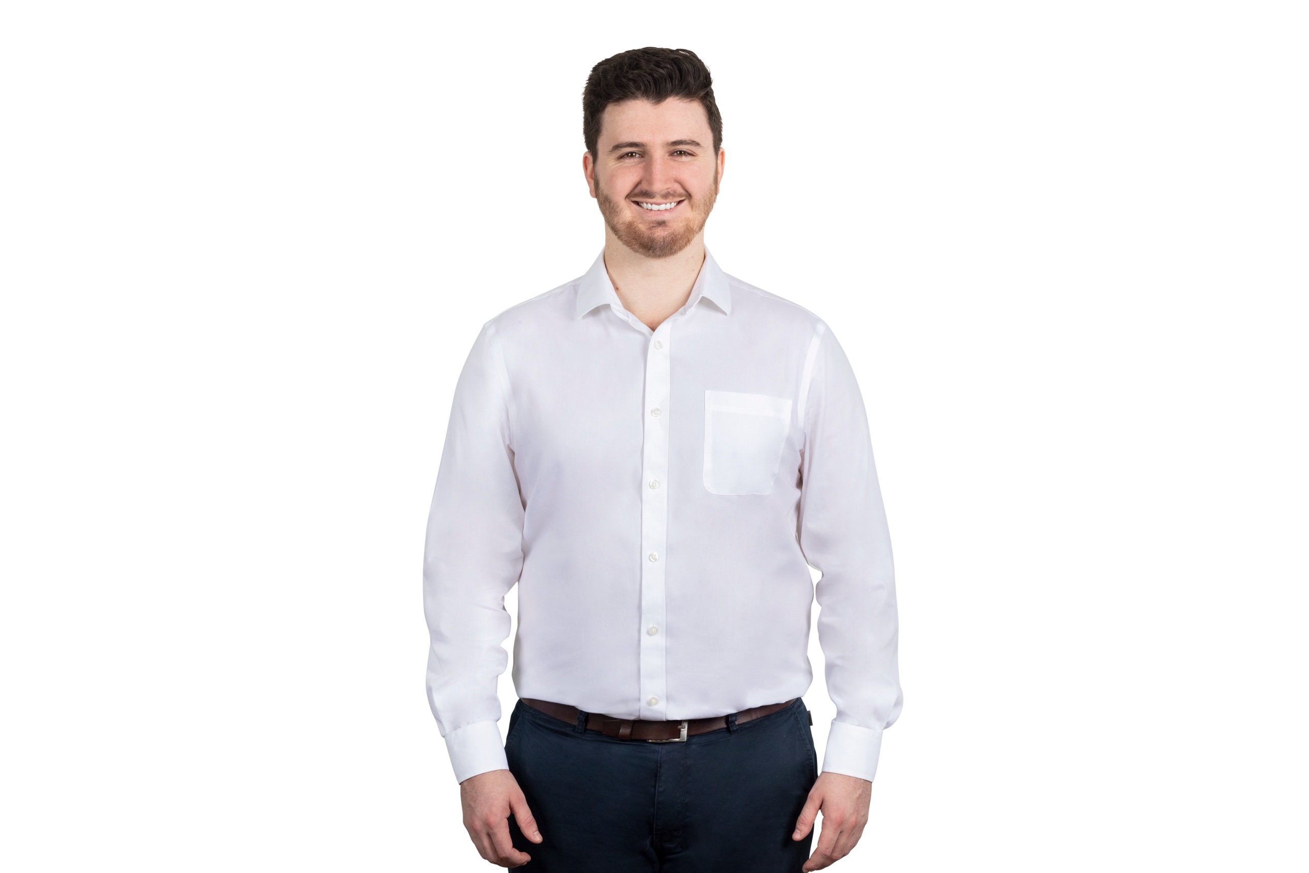
Hi, I'm Ed.
I'm a civil engineer in Sydney. I started out designing water and sewer networks, and now I spend my days joining CAD, GIS and LiDAR data so projects can see what is really on site.
● About
I'm a civil engineer in Sydney. I started out designing water and sewer networks, and now I spend my days joining CAD, GIS and LiDAR data so projects can see what is really on site.
My path
I designed and modelled utility relocations and sewer networks in CAD, to Sydney Water and WSAA standards. I prepared plans, flow schedules, long sections and application reports, and led drafting teams.
Today I build workflows that bring CAD, GIS and LiDAR data into live infrastructure projects. I plan and process laser scans, analyse point clouds, and run spatial analysis in QGIS.
I introduced mobile LiDAR to a team from the ground up. I set up the users, coached colleagues in the field and in processing, made training videos, and presented case studies to the whole business.
Good site data early saves expensive surprises later. I like making that data easy to read for people who are not specialists.
Toolbox
GIS and field
Scans and point clouds
Design
Experience with
Site tickets